


The infrastructure for the eMISK geodatabase has been put in place, along with all hardware and software components. Assessment of user needs and data modelling were implemented by a team of experts to come up with the requirement analysis and recommendation for the design of eMISK geodatabase and systems, which will form the backbone of Kuwait EPA data repository. Eleven data domains are identified to organise data within eMISK geodatabase; each domain represents an environmental sector.
Acquisition of Kuwait geo-environmental data is well under way. eMISK gathers all relevant data from within KEPA, from other pertinent organisations, and from recent first-hand data sources including high-resolution satellite imagery and field surveying. Key data input is from LandSat-2006 and SPOT-2010 satellite imagery; the SPOT imagery was freshly acquired for the project.
The distant view on the land from above using remote sensing technologies on the computer screen ensures that environmental facts are mapped across the entire area of Kuwait within the project’s timeline. But satellite imagery does by far not reveal to the human eye in sufficient detail all relevant sewer outlets, landfills, sampling points, industrial sites, oil- and gas production infrastructure, nature and bird protected areas, or living resources. Data acquisition is therefore complemented by GNSS-based surveying on ground.
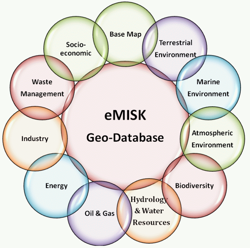 eMISK GeoDatabase domains eMISK GeoDatabase domains |
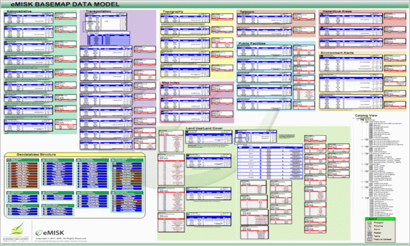 eMISK Basemap Data Model eMISK Basemap Data Model |